Untouched Sections of Bristol
Urban areas dominate the city, county and unitary authority of Bristol to such an extent that it features one of the largest urban areas in the UK. Not only that, but the remaining greenfield locations are gradually diminishing. Both private and professional development projects are building on top of undeveloped land, promoting an ongoing intention to grow the city, but concerning inhabitants who are wary of the impact it could have on environmental quality and local biodiversity.
From the perspective of developers, an issue with staging a project on undeveloped land is that it can be difficult to know what lies in the ground below. Partly or completely hidden historic remains may be present on any plot of greenfield land, and simply disregarding this likelihood could lead to issues further down the line that will add unexpected delays and costs to the project.
Bristol City Council’s Rules on Archaeology
As a method of protecting archaeological remains across the city, Bristol City Council has policies dedicated to archaeology. The official website explains that the council has protections over the city’s buildings, streetscapes and archaeological remains, particularly when it comes to planning projects that could potentially disturb them.
It also details that archaeology officers working on behalf of Bristol City Council hold jurisdiction over archaeological features within the city. Their duties include identifying and preserving archaeological monuments, recording archaeological finds in Bristol’s Historic Environment Record, and sharing information about Bristol archaeology with residents and various stakeholders in the city.
Additionally, archaeology officers play a pivotal role in planning applications, as they advise on the creation of local planning policies and provide support to planning officers in the decision to grant or deny each application for planning consent. Appeasing the planning policies that involve historic remains can be difficult, but with the help of an archaeology survey, any potential obstacles will be identified and eliminated.
Archaeological Assessments
An archaeological assessment would be needed on any development site that features greenfield land or in any circumstance where there is any uncertainty over what lies partly or completely buried beneath the surface of the ground. Firstly, desk-based assessments will be conducted to retrieve any existing information about archaeological features present on the site and archaeological records that could indicate historic importance.
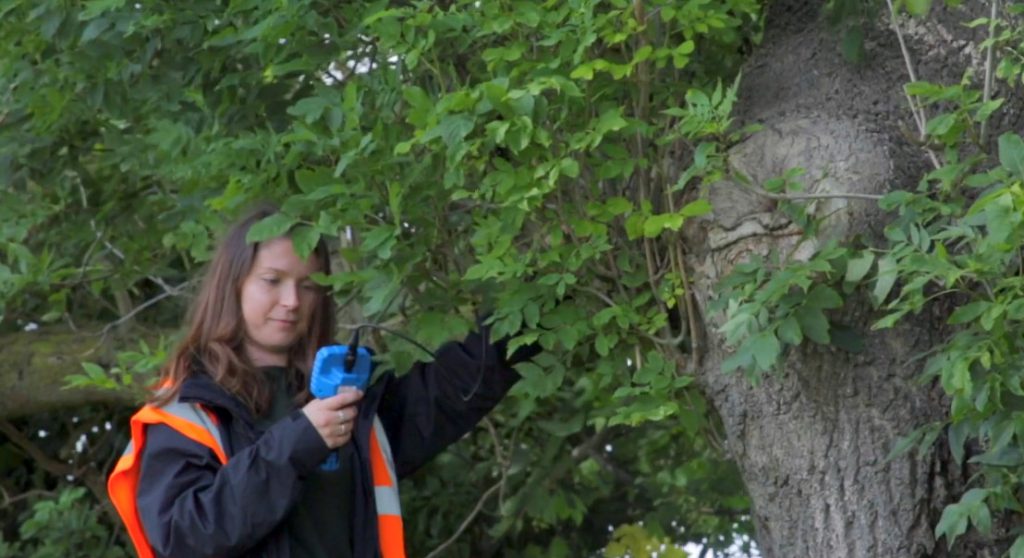
Following the desk-based assessment, the archaeologist will attend the site for a physical inspection split into two sections. The first is known as a surface survey and involves identifying all historic remains on the surface of the site, and the second is known as a geophysical survey and involves the archaeological consultant using highly specialised equipment to gauge underground historic features.
The primary purpose of a geophysical survey is to run a ground penetrating radar (GPR) device over the site. It will send radio waves into the soil, reflecting back once a surface has been hit, and if any of the distances were recorded as shorter, it will be an indication that archaeological remains may be present below the surface of the ground. Depending on the site, the archaeological surveyor may also opt to undertake other techniques such as aerial photography, site discovery and evaluation, walkovers and watching briefs, or factor in other considerations such as contours, earthworks, existing building survey results and correlation to the National Grid.
Upon completion, an archaeology report will be created to reflect the results from the assessment and measures that will allow the planning project to move forward, even with archaeological remains present. As valid data and suitable next steps will be within the archaeological report, the local planning authority should have no reason but to grant a planning condition on the site.
Speak to Our Team Today
At any point where undeveloped patches of land or listed historic sites are involved in a development, we would suggest reaching out to us about an archaeological survey. At this point, we can determine whether you need our services, and if you do, we can utilise our vast experience in conducting high-value surveys to support your planning application.
Contact Arbtech today by calling the number at the top of this page or filling out our online quote form, and our team will give you a free quote. Our archaeologists are situated all over the country and have the necessary licensing, training and qualifications to visit your site, undertake an archaeology survey, and ensure that no obstacles will prevent your application for planning permission.


