Expert Topographical Surveys for Land Developments in London
Through certain key factors such as the local attractions, various methods of travel across the city, options to turn a profit via property development projects and operating as a landlord, and the wider array of job opportunities, London offers a lot to potential buyers. Property prices in London, however, have always been higher compared to the rest of the United Kingdom, leaving the possibility of buying land as the only viable alternative.
The Zoopla UK House Price Index claims that the average cost of a property in London stands at £497,700 – the highest in the entire United Kingdom and double the figure of the UK’s average (£240,800). According to statistics from the Valuations Office Agency (VOA), the average value price of land in London was £35,551,364 per hectare, with a handful of high-value areas (£161,475,000 per hectare in Chelsea and Kensington, £135,715,000 per hectare in Westminster and £128,050,000 per hectare in the city of London) causing the figure to skyrocket as much as it has.
Compared to other regions – the South East of England having the second highest at £4,745,970 per hectare – the value of land in London is extremely high. However, as the estimates are lower for certain sections such as Barking, Bexley, Dagenham and Havering, there are opportunities to stage land developments in London, whether for a private property or a project intended to generate a one-time or ongoing income. Likewise, plots of land in London may become available at a lower price if they are in a less desirable area, or if they are classed as brownfield land and require significant alterations.
London Land Surveys
Once you have managed to identify and purchase a suitable plot of land in London, you may feel that you are well into the whole process. In fact, this is only an early stage, and not only is there a long way to go until your project is completed, but there are also a lot of potential stumbling blocks and obstacles to deal with.
An often costly process, the last thing you would want in your London land development are any more financial shortfalls, as well as time-consuming hindrances that could have otherwise been avoided. Although there are several ways of cutting costs, bypassing costly mistakes and ensuring that your project remains well within your budget, a fundamental factor that would eliminate potentially impactful issues further down the line would be through arranging a topographical survey (land survey) with an experienced and recognised land surveyor in the London area.
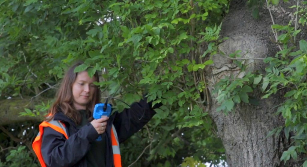
Other benefits from opting to book a land survey include gaining insight for choosing suitable locations to position new buildings, determining potential issues from hazards located near the site, discovering otherwise hidden natural features and existing buildings, gauging hidden or visible tree positions, remaining within the boundary lines of the site, utilising the site effectively, and uncovering issues that could prompt the need for one of a wide range of other surveys, such as protected species surveys or tree surveys by a London arboriculturist.

Details of Topographical Surveys
Otherwise known as contour surveys, detail surveys and terrain surveys – or simply as topo surveys or topographic surveys – topographical surveys focus on using laser scanners to compile key data about every feature on the site to assemble a picture of it, benefitting the early stages of the planning process. Although relevant surveying services, topographical surveys should not, however, be confused with the comprehensive range of similar surveys, such as drainage surveys, engineering surveys, GPS surveys, measured building surveys or utility surveys. For anyone carrying out a development for the first time, it may seem confusing to choose from the wide range of land surveys. However, a topographical survey is the baseline assessment and will always be worthwhile.
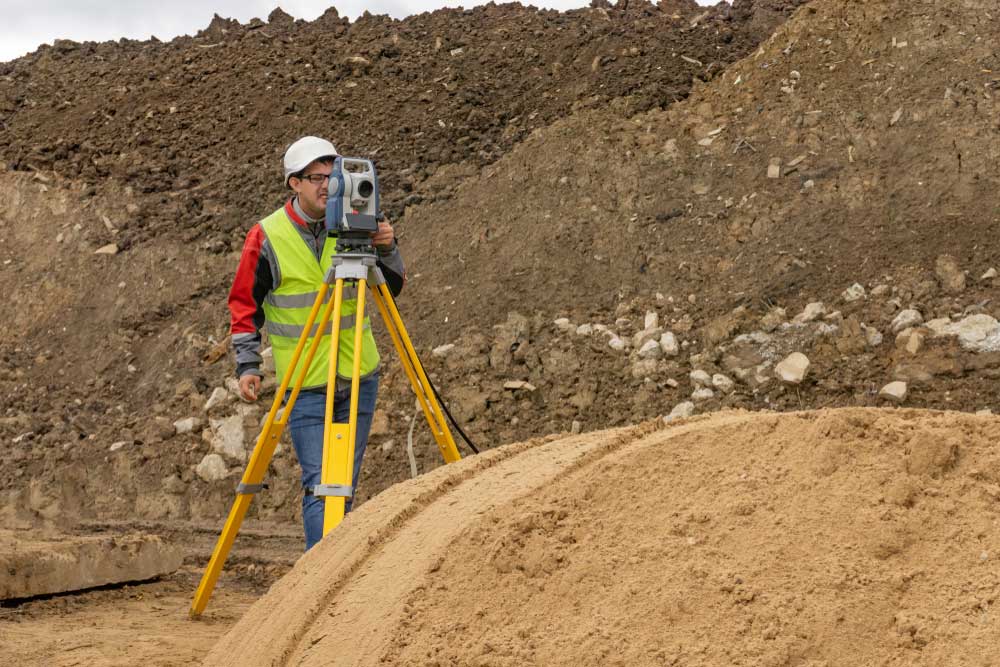
Our land surveyors carry out topographical surveys in a universal way, but one that ensures your site receives the necessary level of attention. To do this, they will speak to you about your site and project to understand exactly what you are looking to achieve, the methods you are aiming to use and your own individual needs from the project. One or more of our land surveyors will then visit your site to carry out the topographical survey, using the latest technology and specialist survey equipment such as cameras, a 3D laser scanning device and handheld GPS. Using these tools, the surveyor can retrieve the data they need to map out the site and create a highly accurate image.
Depending on the site, it can be difficult to reach certain points – for instance, on busy roads, roofs, steep hills and hazardous areas. However, we make sure that every section of the site is covered, even if it means using drones to record hard-to-reach places, or even speaking with the local authorities to retrieve important data. You will then receive a completed CAD drawing of the site, with all the measurements and every feature – both above and below ground – included. As the first step in the planning of your project, your architect or design team can then use this information and your specific requirements to formulate a feasible development plan.
Qualified and Trusted Land Surveyors in London
Due to being such a crucial part of the development process, it would be not only advisable to book a topographical survey, but also ensure that the service provider conducting the assessment is reliable and likely to perform a suitably professional job. At Arbtech, we pride ourselves on carrying out surveys to the highest possible standard and have hundreds of positive reviews that prove how much we’ve supported clients in charge of commercial, industrial and residential developments. Our trusted team has many years of experience in land surveying and, as a business, we offer a comprehensive range of surveying services, whether you need a topographic survey or any other assessments to support your construction project.
With nationwide coverage, our land surveyors are situated across the UK, including in North London, South London, East London, West London and the surrounding areas, and other parts of South East and South West England. For a no-obligation quote, all you need to do is get in touch or fill out the free quote form at the bottom of this page, give us details about your site and project, and we will be able to give you an accurate estimate based on competitive prices. You can then consider the quote we’ve given you, and if you choose to go ahead, we will book a topographical survey at the next available opportunity and visit your site at a date and time that suits your schedule.


