London-based Archaeological Consultancy: What is Archaeology and why does it matter?
In this blog–the first of a series–Iceni Projects’ director of archaeology, Claire Cogar, introduces us to archaeological constraints to development and discharging conditions of planning consent.
Why is the past beneath us?
Some of the most frequent questions we face as archaeologists revolve around a common theme: why is archaeology underground? Did people live below ground in the past? Was the ground level much lower back then?
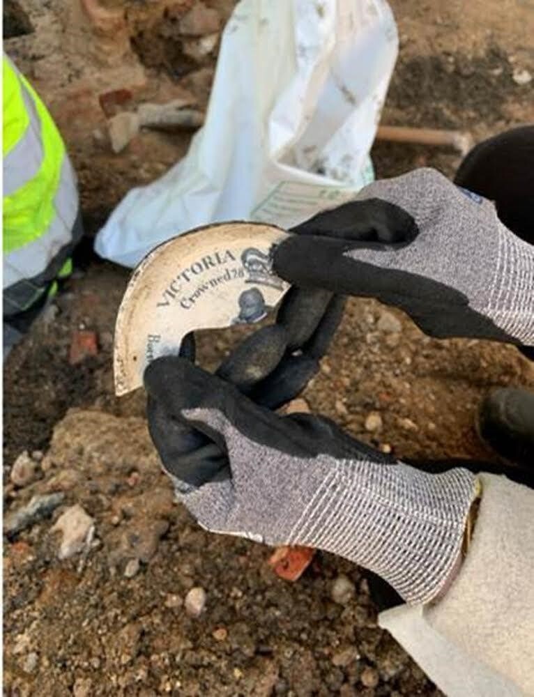
The answer is simple… well, sort of. A large chunk of the archaeological features we uncover today were always intended to be underground. Think graves, building foundations, post holes, drains, and the headline grabbing ‘buried treasure’: the elusive hoard. All of these are intentional below ground features. The treasure hoard is often interpreted as the hasty burial of an individual’s, or an entire communities’, wealth when danger or uncertainty loomed. Vikings spotted on the horizon? Time to hide the family jewels.
Often on a site, we won’t see the ancient ground surface or historic ‘street level’. We’re essentially still occupying the same space nowadays, though perhaps we’ll just see a pattern of historic post holes and the bottom of rubbish pits, the top of which has been disturbed by later buildings and construction. On rural greenfield sites, centuries of ploughing may have destroyed the ancient ground surface.
Archaeology and the planning process
It is somewhat surprising to think that it is only since 1990, with PPG16, that archaeology has been a material consideration in the planning process. Before this time, the decision to undertake any archaeological work on a site was at the discretion of the developer, and therefore not exactly considered a priority unless it involved a more obvious project. But not all archaeology is that obvious, and to minimise the potential for any hidden surprises at a late stage, archaeology should be a key consideration at the outset.
From 1990 onwards, developers became responsible for funding archaeological work in support of their planning applications. This drew archaeologists into a commercial construction market, working alongside demolition contractors, engineers, architects, and builders. As a consequence, the biggest funders of archaeological work (in the UK?) are property developers.
Gaining the necessary approvals before you even step foot on site can take up to three months. Unfortunately, many developers do not engage archaeologists until demolition is well underway and often machine excavators and cranes are already on site. The result of this often proves to be stand-down time across busy urban sites with archaeologists furiously trying to negotiate approvals with a Local Authority that is already over capacity.
If archaeology is to remain part of the planning process and in the public interest, a more business-led, focused approach needs to be applied to work on development sites. The industry needs to continue to produce high quality work, with greater focus on client care and collaboration with other construction contractors, to achieve an effective result.

How can we find out what is in the ground?
If someone mentions geophysical survey in passing conversation, it more than likely elicits images of cold looking students in woolly jumpers, walking across a muddy field strapped to large, heavy metal devices. Fortunately, physical surveying techniques have come a long way since the early days of Time Team and can be an incredibly efficient tool for determining what is in the ground, illustrate potential risks to a development prior to a planning application, or even just a map of sorts prior to site purchase!
Geophysical survey is an umbrella term for a number of different physical survey techniques including magnetometry, ground penetrating radar (GPR), earth resistance, EM conductivity, earth resistivity tomography, and magnetic susceptibility. These techniques are wide ranging and used across multiple industries, including archaeology, geology, mineral and energy exploration, oceanography, engineering, and for the detection of UXO.
Archaeological evaluation is a phase of field testing that aims to establish the nature, extent, and significance of any archaeological remains present on a site. Archaeological evaluation is often required in support of planning applications, or it can also be secured by a planning condition, as the first step in determining whether archaeological fieldwork is required on site, in advance of construction. Engaging a geophysical survey for your archaeological requirements is a powerful non-destructive tool in defining this evaluation scope. When it is a component of a well-integrated evaluation design, combined with detailed desk-based research, it can be used to map potential areas of archaeological sensitivity and is useful in understanding the nature of any developmental constraints at an early enough stage to avoid impact on the developing design or construction programme.
Engaging the public and project stakeholders
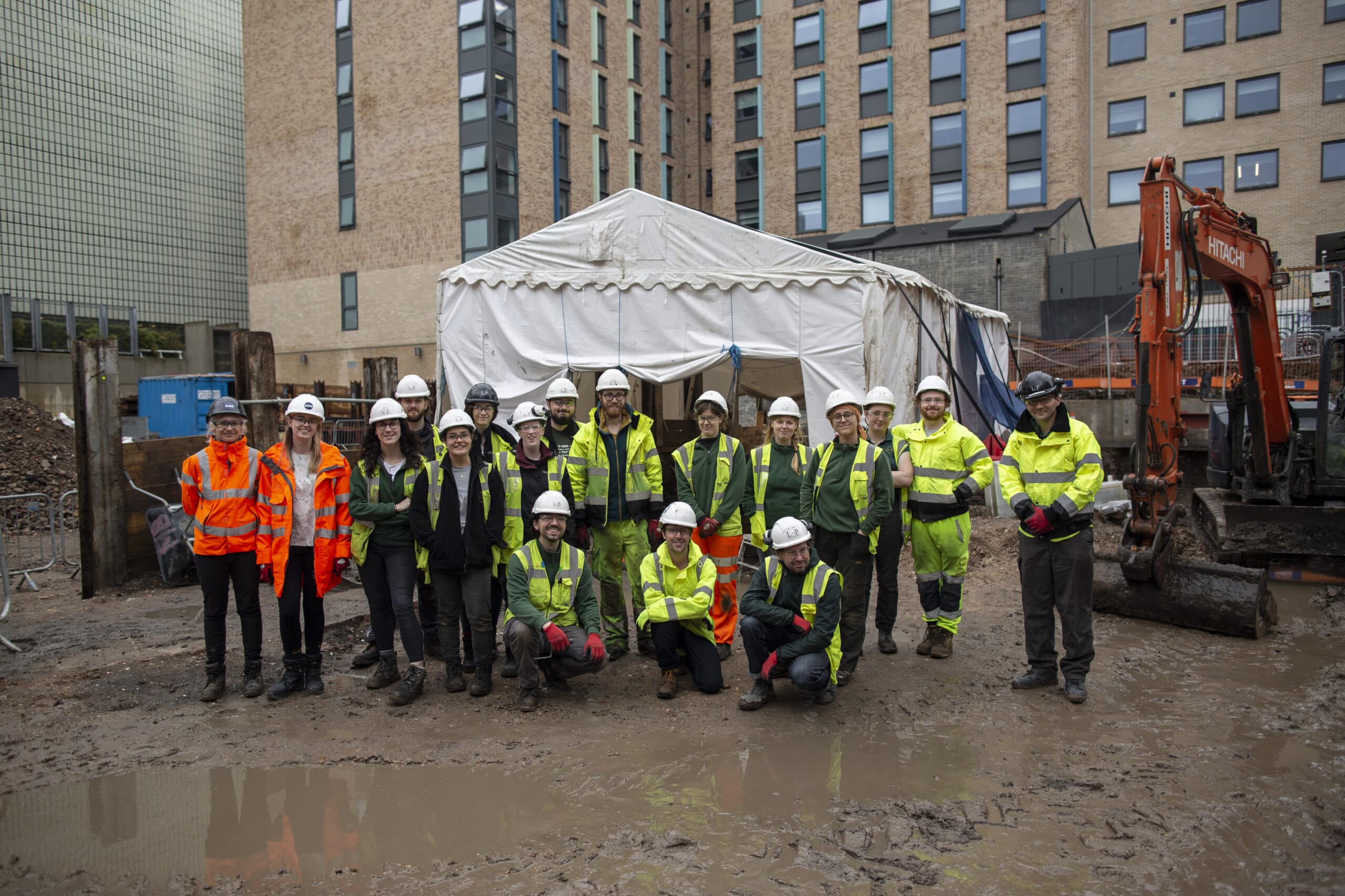
There are also wider benefits to giving consideration to archaeology at an early stage – beyond preventing delays at a crucial time in the programme. By tapping in to the public engagement value of the cultural material at an early stage it is possible to maximise the positive impact of the results for the developer; archaeology is part of the narrative of a development site and there is a virtue to be made of it.
The public’s fascination with archaeology and its thirst to ask questions about how people lived in the past is well known. Local Plans have increasingly called for archaeological finds to be better communicated with the wider public. Asking people to engage in a discussion about archaeological conditions is probably about as dry as the Dead Sea Scrolls, so we need to think about how we can harness people’s natural curiosity in their local history to reach wider and more diverse audiences.
Local Authorities and Archaeological Advisers have proven they are open to innovative and new ways of engaging the public with archaeological work. Whether this is via public talks, education outreach in schools or open days for on-site visits. Nothing is more illuminating than coming face to face with the places where people ate, lived, and worked staring right back at us. Many projects go one step forward and merge the two – incorporating the archaeology of the site within the proposed development so that the past continues to shape the spaces of the future.
Want to find out more about archaeological surveys?
If you would like to contact Iceni’s archaeological team for further information or advice, please don’t hesitate to contact Claire Cogar on 07799 369997 or at [email protected].
For information about ecology or arboricultural consultancy, click here.
