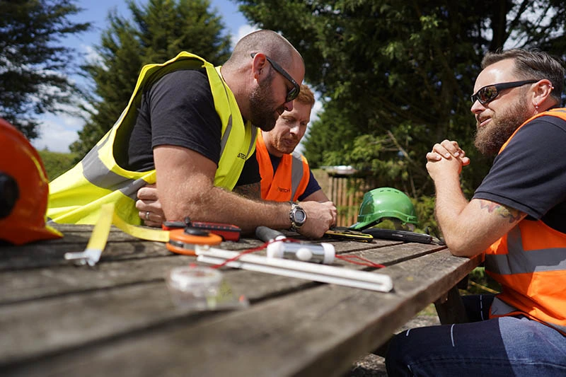
Wiltshire’s Untarnished Areas
A largely rural county in South West England, Wiltshire is primarily composed of villages, market towns and picturesque scenery. Around half of the population of Wiltshire lives in towns and villages across the county, and each of these areas possesses populations of less than 5,000 people. A wealth of countryside means that plenty of greenfield areas remain, and with that, developers are given numerous opportunities to plan projects on untouched land in the county.
Despite the countless undeveloped areas, Wiltshire Council has vowed to protect as many green spaces as possible. Insisting on a preference for developments on brownfield sites ahead of greenfield sites has allowed the inevitable planning projects to go ahead. Even at any point where a developer is able to secure a plot of undeveloped land, however, there are potential issues that they will need to address.
While it is easy to assume that an undeveloped site has no existing infrastructure or historic remains hidden beneath the surface of the ground, the local planning authority will be wary of accepting an application for planning consent without evidence that the site has no such elements present. Choosing to ignore the likelihood of archaeological features on the site could have adverse effects, including penalties, delays or even a complete breakdown of the project.
Restrictions Caused by Historic Remains
Within Wiltshire Council, there is a department dedicated to archaeology and historic environment records. Made up of a team of licensed archaeologists, they serve several duties including offering guidance, information and support in regards to archaeology and historical features to the people of Wiltshire.
As with all local authorities, the archaeology department in Wiltshire Council also plays a role in planning applications and development management, particularly on sites that are undeveloped or likely to feature archaeological remains. Due to this, the local council will have help from qualified archaeologists, and developers working towards receiving a successful planning condition will need to satisfy both Wiltshire Council and their archaeological advisors.
Although a daunting challenge, an archaeology survey will invite an archaeological consultant into the process, enabling the developer to eliminate any obstacles from the process, make suitable changes to meet planning policies, and strengthen planning applications.
Archaeological Inspections
Inspections on sites that may possess archaeological remains involve two stages. The first consists of desk-based assessments to find information pointing towards existing historic remains on the site and archaeological records that could lead towards the site having a level of historic value. The second requires the archaeologist to visit the site to inspect for historic remains, both in terms of a surface survey above ground and a geophysical survey below ground.
Following completion of the surface survey to detect historic remains that are present and visible across the site, the primary aim of the geophysical survey will be to use a ground penetrating radar (GPR) device to gauge whether any archaeological remains are hiding beneath the surface of the ground. For this to work, the GPR device will need to be placed on all areas of the site, allowing radio waves to face into the ground, reflect off objects and surfaces within the ground, and indicate locations of historic remains whenever the distances between reflections are shorter.
Based on the outcome of the geophysical survey, the archaeological consultant may opt to excavate or suggest changes to the development plans that will avoid the affected area. They may also decide to integrate additional techniques such as aerial photography, site evaluation, walkovers and watching briefs, or provide further consideration to contours, earthworks, the results from building surveys and proximity to the National Grid. All information from the survey will be detailed in an archaeology report, along with any other data that could enhance the developer’s application for planning permission.
Receive a Free Quote Instantly
Plots of land that are untouched or listed as historic sites would be subject to an archaeology survey before a local council would begin to consider a planning application. As such, if your development site falls under either of these brackets, we would recommend speaking to us so our helpful team can talk you through your options. Arbtech has a wealth of experience catering to clients across the country on various types of surveys, and that extends to assessments for archaeology.
You can contact us for a free quote by calling us over the phone or filling out a quote form online. One of our team will then respond to you immediately, and once you are happy to move forward, we can choose a desirable date for your archaeology survey. Using the advice of our archaeologists, you can eliminate any factors that would otherwise act as an obstacle in your pursuit of planning consent.


