Underground Utility Mapping and Survey
Before a shovel breaks the ground, you need to know what lies beneath the surface. Many construction and development projects face significant risks when the locations of underground infrastructure are unknown.
Hitting an electrical line, a gas line or a major water pipe can cause serious injury, massive delays and huge costs. Such incidents can endanger people on and around the site, as well as damage the existing underground pipes, communication and electricity cables.
Utility mapping helps you to identify and locate all buried services across a given area in a safe and responsible manner.
What is Underground Utility Mapping?
Underground utility mapping is the process of creating a detailed map of all subsurface infrastructure beneath a site.
It’s a critical aspect of modern land surveying that goes far beyond simply knowing where the boundaries are. Instead, we use advanced technology to accurately identify the horizontal and vertical locations of utilities like water, gas and sewage pipes, electrical and communication cables, and other infrastructure.
The result is a comprehensive overview of all buried utilities, giving you a clear understanding before your project begins, ensuring improved planning, providing an up-to-date record for future use, and avoiding potentially harmful work to keep people safe.
What is a Utility Survey?
Also known as underground utility detection, a utility survey is the on-site process of gathering the raw data for utility mapping.
In the survey stage of utility mapping, a land surveyor will search the chosen area to find, trace and mark locations of all underground services.
For several reasons, accurate utility data is often crucial for developers, engineers, insurance companies, local authorities and utility companies, and it is common for each of these clients to require utility surveys before breaking ground on sites with existing underground services.
The valuable information from a utility survey goes on to help prevent damage during construction projects, allow for necessary utility relocations, and inform project planning for other schemes in the future.
Utilities Mapping and Surveying
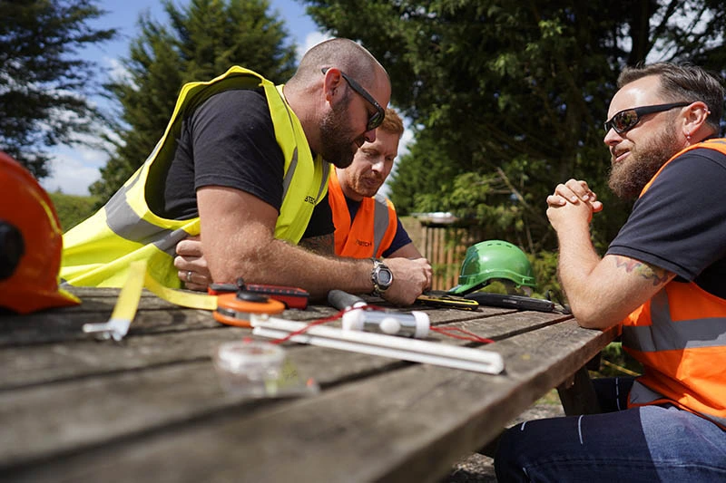
When you choose us to refer you to a provider of top-standard utility surveys, you get a dedicated team of professionals focused on mapping underground utilities efficiently and precisely.
The team we work with for all types of land surveys follows a proven and multi-stage process to deliver the high-quality and actionable data you require to meet your goals.
Utility Mapping Survey
The survey process our partner company follows is designed to deliver a detailed map with the highest possible degree of confidence:
Desk Study and Data Collation
Gathering and reviewing existing utility records and service drawings from local authorities and utility companies.
The initial scoping process opens up a baseline of relevant information.
Site Reconnaissance
Visiting the site to assess physical features, ground conditions and confirm the accuracy of any existing records.
Non-Invasive Detection
Detecting the presence and location of buried utilities.
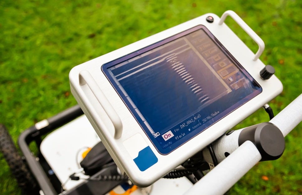
State-of-the-art technology is used, such as ground penetrating radar (GPR) and electromagnetic location equipment.
Data Capture and Mark-Up
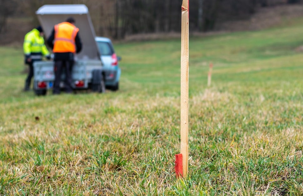
Marking the locations of utilities on the ground as and when they are found, and capturing the exact coordinates using high-precision surveying instruments.
At the time of confirming the locations of utilities, temporary paint or flags will keep track of them.
Verification and Quality Check
Performing checks to ensure the accuracy and completeness of the data recorded.
More than any other approach, GPR surveys and radio frequency location tracking will be the most effective methods.
Data Processing and Mapping
Formatting all the collected data using specialised software.
After all tasks are complete, the outcome will be a detailed map of the subsurface infrastructure.
Utility Mapping Standards
Rather than just finding utilities, the survey team we outsource to adheres to the highest industry standards to ensure that the information we provide is reliable and legally defensible.
The surveyors always ensure regulatory compliance, operating under the primary standard of quality known as the PAS 128 specification.
With the PAS 128 classification system, they can identify different quality levels for the location of underground services. The framework allows them to clearly communicate the level of confidence they have in the location of each utility.
Quality Levels
- Quality Level D – information derived from existing utility records
- Quality Level C – information based on a site walkover and correlation with record data
- Quality Level B – detection and location for the highest level of detailed mapping
- Quality Level A – confirmed position by a physical investigation
The aim of the utility survey team is to achieve the highest necessary quality level to help you make informed decisions and provide accurate utility locations.
Utility Mapping Equipment
In order to get the most accurate data, our partners rely on technology that is specialised and non-invasive for our underground utility survey equipment:
- Ground Penetrating Radar (GPR) – uses high frequency radio waves to detect changes in the subsurface, locating both metallic and non-metallic objects like water pipes, concrete ducts and voids
- Electromagnetic Location (EML) Equipment – uses a transmitter to induce a signal onto non-powered metallic pipes and detects electromagnetic fields emitted by conductive utilities, such as electricity cables and metallic gas lines
- Total Stations and GPN/GNSS Rovers – both are precision surveying instruments for measuring up-to-date record data of the buried utilities
- Other Specialised Tools – depending on the site, we may use cable avoidance tools, specialised acoustic technology or sonic leak detection equipment
Utility Mapping Software
The data our partners collect on-site is transformed into actionable readings using powerful software:
- Computer-Aided Design (CAD) Software – used to create the final detailed map that can be easily shared with engineers and other professionals
- Geographic Information System (GIS) Software – used for analysing, managing and presenting the geospatial data, often combining our field results with existing utility records
- Ground Penetrating Radar (GPR) Processing Software – specialised programmes that interpret raw data from the GPR surveys to clearly distinguish between different types of subsurface infrastructure

Utility Mapping Solutions
Everything on this page explains why mapping underground utilities is vital for cost savings and project safety. More specifically, we’ve looked at how the team we refer clients to conducts the survey using advanced tools like GPR and the standards they follow for retrieving accurate utility data.
Our outsourced utility mapping services give clients a comprehensive overview of all underground services for infrastructure projects, ensuring efficient development in a responsible manner.
How Much Does an Underground Utility Survey Cost?
We calculate the pricing for our utility mapping services to be fair and transparent for all clients, giving everyone the best possible value for the quality of data we deliver. The cost of an underground utility survey isn’t a fixed price, and instead, it depends on several key factors that can alter the fee.
The main elements that influence the price are the site’s size and complexity, the required quality level, and the format of the final deliverables.
For instance, a larger site means a higher density of underground services, and a challenging terrain will require utility surveys that take more time to complete. Likewise, a Quality Level B survey is more intensive and costly than a simple Quality Level D records search.
To get an exact utility mapping cost from our team, simply provide us with a site plan and clearly state the purpose of the survey. We can then send your information on to the company work with, and you will receive a precise breakdown tailored to your needs and based on the specifications of your site.
What Makes a Utility Mapping Surveyor Qualified?
Whatever your plans are, you need to work with experts who can reliably locate your subsurface infrastructure.
A qualified utility mapping surveyor is able to combine technical skill, in-depth knowledge, rigorous adherence to standards and experience using relevant tools and software.
The consultants who work for our sister company hold the necessary qualifications through formal training and certification in the operation and interpretation of GPR and electromagnetic equipment. Each of them has years of experience on various sites, from small residential developments to large-scale infrastructure projects, providing valuable information for all types of construction work.
Arguably most importantly, the land surveyors are experts in the PAS 128 specification, guaranteeing that every survey meets the necessary quality levels and provides the accurate utility information you need. Whoever is instructed to your site, they will always prioritise site safety and work hard to check that all work is conducted safely and responsibly.
Get Help with Utility Detection and Mapping
Rather than risking delays, damage or injury on your next project, get a clear understanding of utilities hidden within your site right from the start.
Get a detailed map of your underground infrastructure from our partner’s consulting team by calling us, filling out a contact form or emailing us. We will ask you for details about your site and why you need utility mapping. From there, we can move you across to our sister company to put together a free quote. If you want to move forward, they will use your site plan, existing utility records and their own investigation to create a transparent proposal for the required quality levels for the utility survey.
With the valuable information they can put together, you can progress with a safe and efficient development. Speak to the team at Arbtech today, and we can get started with supporting your project.


