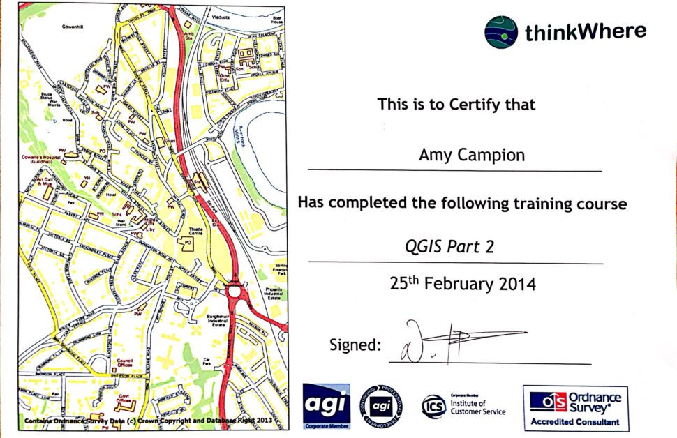
The 2 day whirlwind tour of the QGIS software was time well invested; the course was run by Thinkwhere and was taught by Neil Benny.
Our first day focused on the main principles of what geographic information systems (GIS) are and the basics of setting up a project on QGIS. The course was fast paced and therefore we were given booklets consisting of all the exercises that we were taught throughout the course. The second day explored some of the more complex problem you can solve using QGIS and shows just how clever the software is, and how big the data sets you can store behind the visual interface of the maps are.
Neil was very helpful and informative; I am looking forward to practicing some of the geo-referencing exercises he showed us and using this knowledge to speed up our internal reporting processes here at Arbtech. I also found some of my course notes helpful when producing habitat maps for our reports.
Specifically, I found habitat maps easier to create, neater and overall more professional looking, now that I understand the QGIS software functions in more depth. For example the ‘node tool’ makes your life a lot easier, for example, it is normally quite hard to produce the exact shape you want when drawing a polygon – so this tool allows you to add extra nodes to get a more specific line/shape. This is a great time saver and allows for increased accuracy. It’s the same for the merging of polygons – normally a nightmare. It can be hard to get the entire area you want as a whole polygon so merging polygons together is really useful.
I can now also create shapes, symbology and colourings to show as I wish rather than just the simple options in the drop down boxes I’m used to, which is very handy for more complicated site maps.
The course was run as a very small group (of three), which clearly increased the cost a little, but was worth every penny to the business, for the extra time Neil spent with each of us meant we could focus on what we will be using QGIS for (as clearly it can be used in many industries for very different purposes.)
Criticisms (not many) and Conclusion
The only criticism of the course is that elements of it could have been a little more ‘fine-tuned’, for example they had problems with maps loading that could have been dry-run/tested before hand to ensure smooth delivery of the course, however these situations were quickly resolved and in a way highlighted how these issues can occur if layers/maps are not saved properly on QGIS.
I would highly recommend the course to anyone wanting to learn more about QGIS and its functions.
Amy Campion went on the QGIS course in March 2014.

Hi Amy, the QGIS course sounds useful. I may well try and do the course. Thanks for your review.