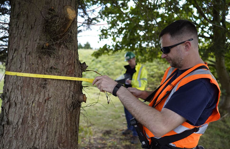
For people new to the world of ecology or housing development the tree survey to BS5837 (British Standard for trees in relation to construction updated in 2012) seems like an alien concept, shrouded with codes and references to things that make little to no sense to the outsider. People doing research into the subject will find that it’s quite hard to get a simple guide to what the survey actually involves, who they’re for and why someone would need one. Hopefully, this short guide should explain what they are in a clear and succinct way, leaving people slightly less confused than they were before.
How can I find a good Tree Surveyor?
Arbtech offer the best prices on planning tree surveys with a heavy emphasis on speed and efficiency. Their best feature is that the surveys are fixed-price, so there won’t be any hidden costs stretching your budget further. All of our BS5837 tree survey experts are fully qualified and all have years of experience helping people just like you with their projects.
Who are BS5837 surveys for?
This survey is for anyone planning or considering altering property or land which is close to, or contains trees. This covers construction, demolition, design and renovation. More common than not, this will concern large development companies, such as a residential developer. However, it can also include individual homeowners.
Tree surveys are important for the preservation of local wildlife but they also protect new developments by ensuring that large trees won’t affect them once they’re built. No one wants to be in a situation where a tree’s growth starts to impede the structural integrity of a building, and we’ve seen this month how much damage natural causes can do to house prices in the UK.
BS5837 Tree Survey Terms Explained…
The specific area that the survey needs to be done is technically within influencing distance of any tree, which can be up to 15m. The survey itself comes as a three stage process, and may vary very slightly from site to site.
1. Tree Survey Plan
This is simply a drawn plan showing the location of every single tree in the specified area to an exact scale.
2. Schedule
Each tree is given a unique reference number, which is the first stage of the 11 point schedule for every tree in the area.
- The scientific and/or common name of each species will be noted.
- If there is a Tree Preservation Order or it has Conservation Area protection, it should be recorded.
- Height of every tree in metres.
- Stem Diameter (cm) measured from 1.5 above ground level.
- The ‘branch spread’ to North, South, East and West.
- Age class. Categorised as young, semi-mature, mature, over-mature, veteran.
- Physiological and structural condition – documenting health and any defects.
- Preliminary management recommendations.
- Remaining ‘useful life’ of the tree.
- A Tree Quality Assessment – this uses all the above data to categorise trees for removal or retention.
3. Tree Constraints Plan
This must show the following five things for each tree in the area:
- Accurate position and crown spread.
- Tree Quality Assessment.
- Root Protection Area.
- Future Growth Potential (crown spread and height)
- Shade footprint throughout the day. Based on future growth potential
Summary
Hopefully this simple guide will have answered most of your questions about BS5837 but if you would like to read about the finer details of this topic then you can visit or dedicated BS5837 tree survey page.
If you would like us to send you a quote for your project, head over to our quote page and tell us about your project.

It would be useful to have a guide as to how often a tree inspection is required
Hi
We have been asked to prepare a methodology in accordance with BS 5837 for a domestic scale construction project involving demolition and new building , including bored piled foundations in an area where there are some significant trrees and their roots.. Does this BS tell you what precautions need to be taken and which methods to adopt. ?
Tree inspections ideally should be carried out every two years. But 18 months is preferred
thank you. very helpful
I have a row of 9 tall very healthy beach trees in a straight line of about 14 met. averaging about 180 cm circumference for which I have a quote to fell 4 and pollard the remaining 5. The fellers need a survey report to meet the law.
Can help or advise please?